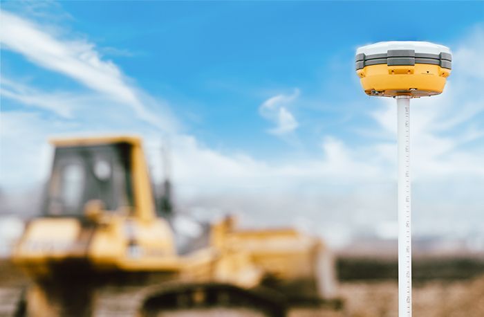
GPS Survey
GPS Surveying Technology
At Far & Wide, we're always trying to unlock the potential of new technologies because without growth and evolution in today's business world, we'll be left behind if we remain stagnant. This is why using GPS for land surveying is an obvious choice.
As an industry, we are embracing the transformative power of GPS technology in land surveying. When this system became publicly available, it was a game-changer with numerous advantages. Some of the remarkable benefits it brings are listed below:
- GPS offers unrivaled accuracy, surpassing traditional surveying methods in terms of precision. No more reliance on surveyors’ line of sight and manual measurements that are prone to human error. Instead, GPS satellites measure angles and distances with centimeter accuracy to provide accurate latitudinal and longitudinal location information. The technology makes surveying possible in nearly any location regardless of weather conditions, dense vegetation and difficult terrain.
- Lightning-fast and pinpoint-precise calculations are a characteristic that is almost taken for granted in today's world but one that shouldn't be overlooked given the complex calculations that are required. GPS can calculate measurements almost instantaneously compared to the hours needed for old surveying methods. Using specialized software, our team will spend a little more time in the office, but save hours in the field. When we provide faster data, your organization can reduce decision time and complete projects ahead of schedule.
- Unlike traditional methods used today, there are no visibility constraints between survey stations or ranging rods. Stations can be deployed at greater distances from each other without sacrificing line-of-sight visibility. Measuring in a thick forest can be as painless as collecting measurements in a wide open field. Even adverse weather conditions such as rain or snow that could halt traditional surveying won’t affect GPS surveying. Surveyors can also carry GPS components effortlessly for added efficiency.
- With their capability for real-time connectivity, many GPS systems can facilitate wireless communication for instant data delivery. This means the surveyor can send information to a developer in real time without the need for other devices. Any changes can be monitored in real-time to ensure that all data remains current and relevant, and allow immediate adjustments. The real-time information flow fosters transparency and collaboration throughout the surveying process.
- GPS surveys are conducted in strict accordance with industry standards to guarantee that the results will meet all legal and regulatory requirements. The accurate and reliable survey data reduce the risk of legal disputes and delays in project timelines. Commercial clients are provided with information that supports industry regulations, land use codes, and zoning requirements to protect their rights and interests.


