Construction Staking
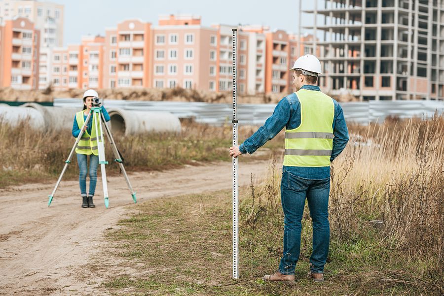
Planning for a large or small commercial construction project? We can do the staking, whether it is for the basics or covers a vast array of indicators on your land. The purpose of staking for anything on a construction site is to give all team members and contractors clear guidance on where specific items will go in order to avoid mistakes. Plans lead the way to blueprints which then lead to construction staking. Some of the more commonly requested items to be marked are things such as building corners, roads or parking areas, sidewalks, and other small landmarks on the future site. Like it sounds, stakes are actually driven into the ground according to the plans or blueprints. They should be reviewed by the project manager, in case an error is discovered. The money, time and materials that can be saved by noticing a problem at this phase is paramount to discovering it only after construction has begun.
New Construction Requirements in California:
According to California building code, a site plan is required when getting a building permit from the city. This site plan is going to be based in part on a boundary survey because of what it entails. The site plan will need to show a handful of things, such as the lot lines, the distance of any structures to these lot lines, and flood potential which will come from elevation or topographic info. You'll always need this site plan unless your construction does not alter the footprint of the building on the property. This short list can be accomplished in 2-3 survey items which we readily offer: boundary surveys, elevation certificates, and topographic surveys. There are many other options and depending upon the complexity of the build, several other things could be called for by private parties related to the project, but unrelated to the city or state. For the most thorough examination of a parcel of land, we can perform an ALTA survey which tends to adequately satisfy all parties involved in a transaction.
Before Construction Can Begin:
Construction Layout is another term you may hear which refers to a very similar need. In order to set the stakes and confirm the location of all necessary points by marking them, a layout of the site is undertaken. We perform these tasks which will benefit the builders and any contractors or engineers by providing them with accurate, reliable construction markers which can be referenced as the layout begins on a construction site.
Within the domain of construction staking, there exist two main approaches, each valuable to a separate phase of the project. The initial category is that of rough grade staking, a preliminary stage aimed at delineating the planned enhancements in regards to the elevation profile of the site. This rudimentary form of staking primarily serves to conceptualize the approximate positioning and elevation of critical elements such as roadways, parking facilities, and building outlines. It should precede the involvement of grading contractors, setting the foundational understanding before the commencement of earthmoving activities.
In contrast, site layout staking represents a significantly more meticulous and precise undertaking. This advanced staking approach finalizes both the horizontal and vertical coordinates of the proposed improvements. Its purpose is to provide an accurate blueprint for the precise location and elevation of structural elements, paving the way for the seamless transition to the actual construction phase. For instance, once site layout staking has been meticulously executed, construction teams can readily proceed with building foundations, road construction, utility installations, or other intricate aspects of the project, informed by the exactitude and reliability of the survey data. This level of precision ensures that construction proceeds with confidence and adherence to the project's design specifications.
Additional Surveys That May Be Required Before Construction:
Depending on many factors like the size and scale of a project, where it is located, the complexity and who is involved in the construction, many other types of surveys may be requested by parties involved. We have other pages on our website that go more in depth about some of these types of surveys too. We've already established that a boundary survey is needed to help create he site plan. It will detail the project's property boundaries. A topographic survey will also be required for commercial construction to map the land features, elevations and drainage patterns. In addition to helping with features on the site plan, it will also provide details to aid with grading plans, and infrastructure layout. If the land is in a developed area or has had buildings there before, it will be necessary to perform a utility survey and have existing lines or pipes marked for underground utilities, not only so you can utilize them, but for safety as you break ground. Digging without knowing where utilities are could not only harm the workers but has the potential to disrupt utility service for existing clients. If a geotechnical survey is requested, this will assess soil and subsurface conditions which are used for foundation design and earthwork. ALTA/NSPS surveys are some of the most detailed surveys available and could be needed if a commercial real estate transaction is happening as part of the project. An ESA or Environmental Site Assessment may be required for projects located in areas with a history of industrial or potentially contaminative land use. These will examine the environmental conditions of a site taking into consideration it's surrounding areas. Finally, we'll mention traffic impact studies which could be needed for larger commercial projects that are likely to have a significant impact on traffic flow.


