

Far & Wide Land Surveying
Land Surveying Services in Fresno, CA
Welcome to Far & Wide Land Surveying, your trusted partner for professional land surveying services in Fresno, California. Land surveying is the cornerstone of every successful real estate venture, ensuring the protection of property rights and the security of investments. These services may also extend beyond real estate as well, to existing home owners, neighbors and businesses. Our mission is to provide accurate and dependable surveying solutions that will factually empower anyone's decision-making process.
At its essence, land surveying involves the precise measurement and mapping of the Earth's surface broken down into manageable pieces of land. It can be as small as the yard for a 1000 square foot home, up to hundreds or thousands of acres of undeveloped land. Surveying plays a pivotal role in urban development, construction, and property management, serving as a critical tool for preventing disputes, assisting in land development planning, and supporting responsible land use. Whether you're a homeowner, real estate developer, or business owner, our land surveying services are essential for safeguarding your property interests and ensuring the success of your projects in Fresno, California.
What Are Some Common Reasons for Needing Land Surveys?
At Far & Wide, we are equipped to address a wide array of scenarios where a land survey becomes essential. One of the most frequent reasons our clients seek our services is during property transactions. Whether you're buying or selling, having precise knowledge of your property boundaries can prevent costly legal disputes. The right land survey can be indispensable when planning construction projects, such as adding new structures, fences, or driveways, ensuring compliance with local zoning regulations specific to Fresno. We also assist homeowners in resolving boundary disputes with neighbors and provide flood elevation certificates which may be necessary for securing flood insurance and complying with FEMA requirements around the region.

Contact Us
Do I Need a Professional Land Surveyor?
For land surveying in Fresno, California, precision and expertise are of utmost importance. Using a professional land surveyor like Far & Wide, ensures you receive accurate and legally defensible results tailored to the unique requirements of this region. Our licensed surveyors possess in-depth knowledge of local laws, regulations, and surveying techniques, which is crucial for delivering reliable data that can withstand legal scrutiny. We utilize state-of-the-art technology, including GPS and advanced surveying equipment, to guarantee the highest level of precision in our work. By selecting us, you're not just acquiring a survey; you're investing in peace of mind, safeguarding your property rights, and ensuring the success of this step of your real estate endeavors in Fresno, California. Contact us today to experience the difference that professional land surveying can make for you.
Our Most Common Surveying Services
Below you will find a brief description of many types of surveys and mapping we offer. Please call us if you are not seeing what you need here. Our many years of experience with all types of surveying allow for a multitude of work to be completed in house using our skills and the latest technology in the industry. To read more about any of these features, just click the links to be taken to a more in depth page on each land surveying topic.
Land surveying is a vital practice for any California resident seeking clarity and assurance in their real estate endeavors. Whether you're buying or selling property, planning construction projects, or resolving boundary disputes, a skilled land surveyor plays a pivotal role in ensuring accurate property assessments. Even if you're not sure exactly what kind of services you require, we will listen to your situation and advise on how we think it is best to proceed so you can make an informed decision. We will provide the expertise and documentation needed to precisely define property boundaries, identify encroachments, assess land characteristics, and create comprehensive maps. With our help, you can navigate the complexities of California's dynamic real estate landscape with confidence, ensuring that your investments and property transactions proceed smoothly and securely.
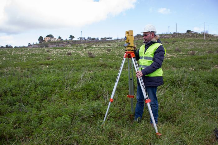
A boundary survey works to explain where a piece of property begins and ends. This is done by creating a map of the edges or property lines of your property. Our professional surveying team will research by reviewing existing public maps to see what past surveyors or city officials have noted about the property and its characteristics. Then we follow up with a field team to ensure everything matches these documents. The final results are put on paper and referred to as a boundary survey. Corners are clearly marked, the total area or lot dimensions are given, any easements or encroachments are called out, and legal descriptions are provided on these surveys. This helps homeowners, buyers, builders, or anyone who owns land to know exactly what they have and where they can build. Boundary surveys can be helpful when planning for new structure or an addition but also when buying or dividing a piece of land.
If you know exactly what an ALTA survey is, you'll be pleased to know that we can deliver them in industry-standard time frames with all of the stringent requirements. If you don't know what an ALTA survey is, they are the most extensive surveys in the industry and deemed to follow the ALTA/NSPS guidelines so that all necessary parties can rely on the same set of standards. Most frequently needed for a commercial land transaction, these surveys are often required by title insurers. They serve as part of the due diligence process for potential buyers but can also be used by the title insurer to lower any risks. In many cases, the content is so thorough, that you can expect your ALTA survey to contain all the combined information from a boundary survey, location, and title survey. These are broad surveys that require both skilled field work and thorough research. At Far & Wide, we have this experience under our belt and would be honored to create your next ALTA survey.
Following the latest trends and industry news so our customers and employees can reap the benefits.
We put an emphasis on accuracy, history, and making sure our customers' needs are always met.
No matter the size of the project, the measurements and details have the same value and importance.
Yep. That's another service we offer! Topographic surveys capture land details, such as elevation and terrain, information you won't necessarily get from your boundary survey. Contour lines are used to show land shape and elevation changes, which are immensely useful for aiding engineers in water flow predictions and builders in strategic planning. The map also notes important features like roads, power lines, and rocks, benefiting architects, geologists, and outdoor enthusiasts. These maps are created digitally and may even use data collected by drones for efficiency and accuracy. Whether for construction, geological studies, or sports, a topographic survey is a valuable tool, providing a comprehensive view of the land's physical characteristics.
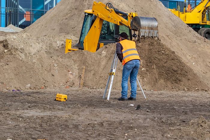
For construction staking, we offer precise guidance for commercial projects allowing them to proceed with accuracy and efficiency. A site layout will happen for us to confirm the corners, utilities, and any other notable elements on the land. This must take place based on the site plan and our findings before we can set markers. We then drive stakes into the ground based on the plans, marking crucial elements like buildings, roads, and various landmarks. By using these stakes to check against the construction plans, crew members involved in the project have the ability to spot errors before serious work begins which can save massive time and resources. We can tackle either of the two common staking approaches: rough grade staking for preliminary elevation concepts and site layout staking for precise location and elevation data. While the former is a precursory phase to construction, the latter ensures confident and precise construction, aligning with project specifications.
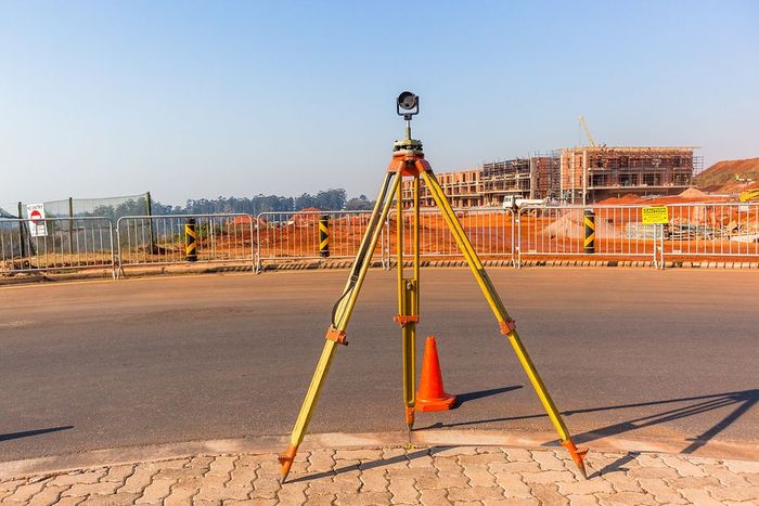
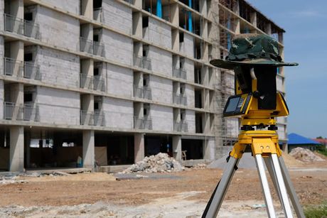
Embrace strides in technology with the ease and accuracy of land surveying with GPS technology, where precision and speed are redefining industry standards. GPS is a dynamic tool that promises superior results when harnessed effectively, propelling the field towards ever-increasing accuracy and efficiency. By utilizing our GPS receivers with our full system and software we are able to rapidly collect data such as location, distance, and elevation which used to be a far more laborious process for your average field crew that was trained to rely on distances and angles for calculations. That historic mathematical principal is similar to the way GPS works for us. By connecting with several satellites in the sky, complex calculations can be done instantly to coordinate the exact location of a GPS receiver on the ground. We then combine this info with our other data points to create useful surveys for all types of professional needs.